

Interactive Maps
SCIRPDC develops interactive web-based GIS applications that support municipalities and counties across South Central Illinois. These tools bring together planning data, economic development resources, and community information into accessible online mapping platforms.
Featured Municipal Interactive Maps
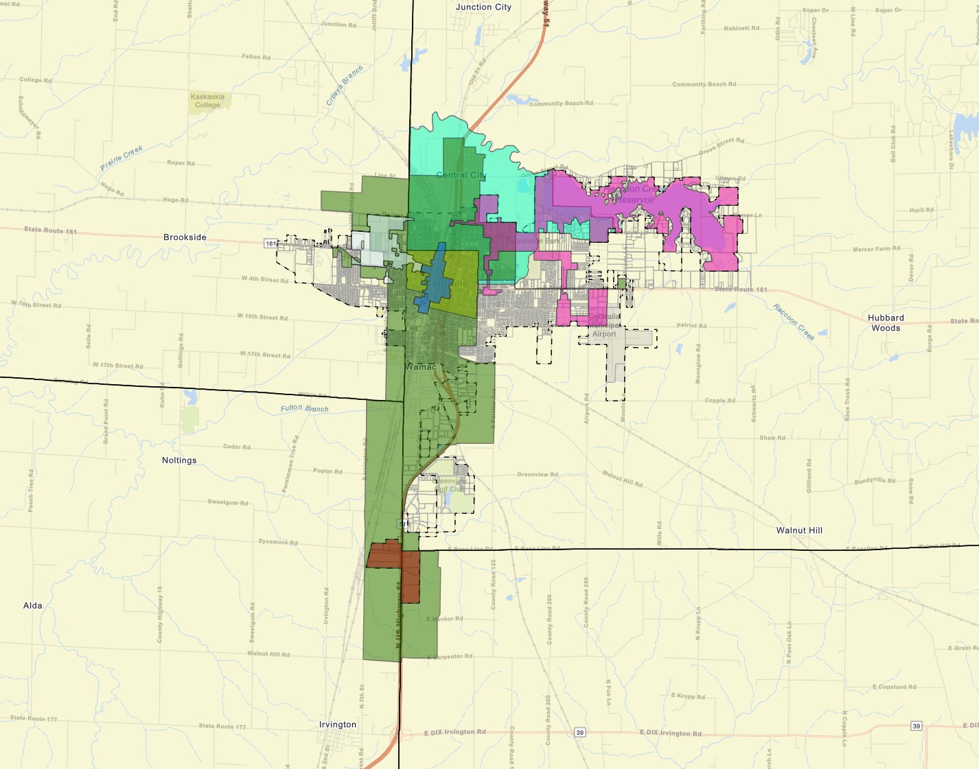
City of Centralia
Interactive GIS application featuring community economic development boundaries.
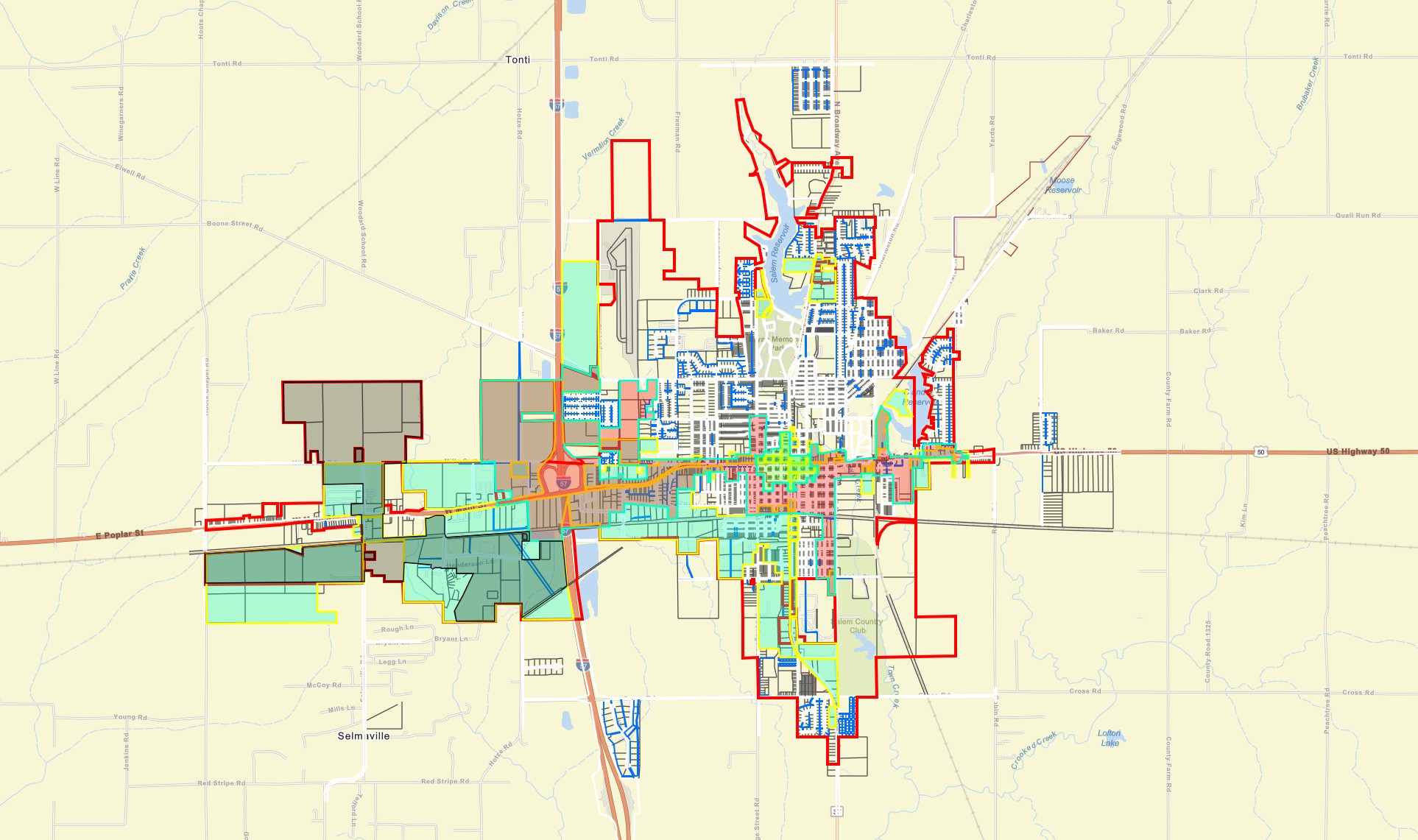
City of Salem
Community GIS viewer providing access to local planning information.
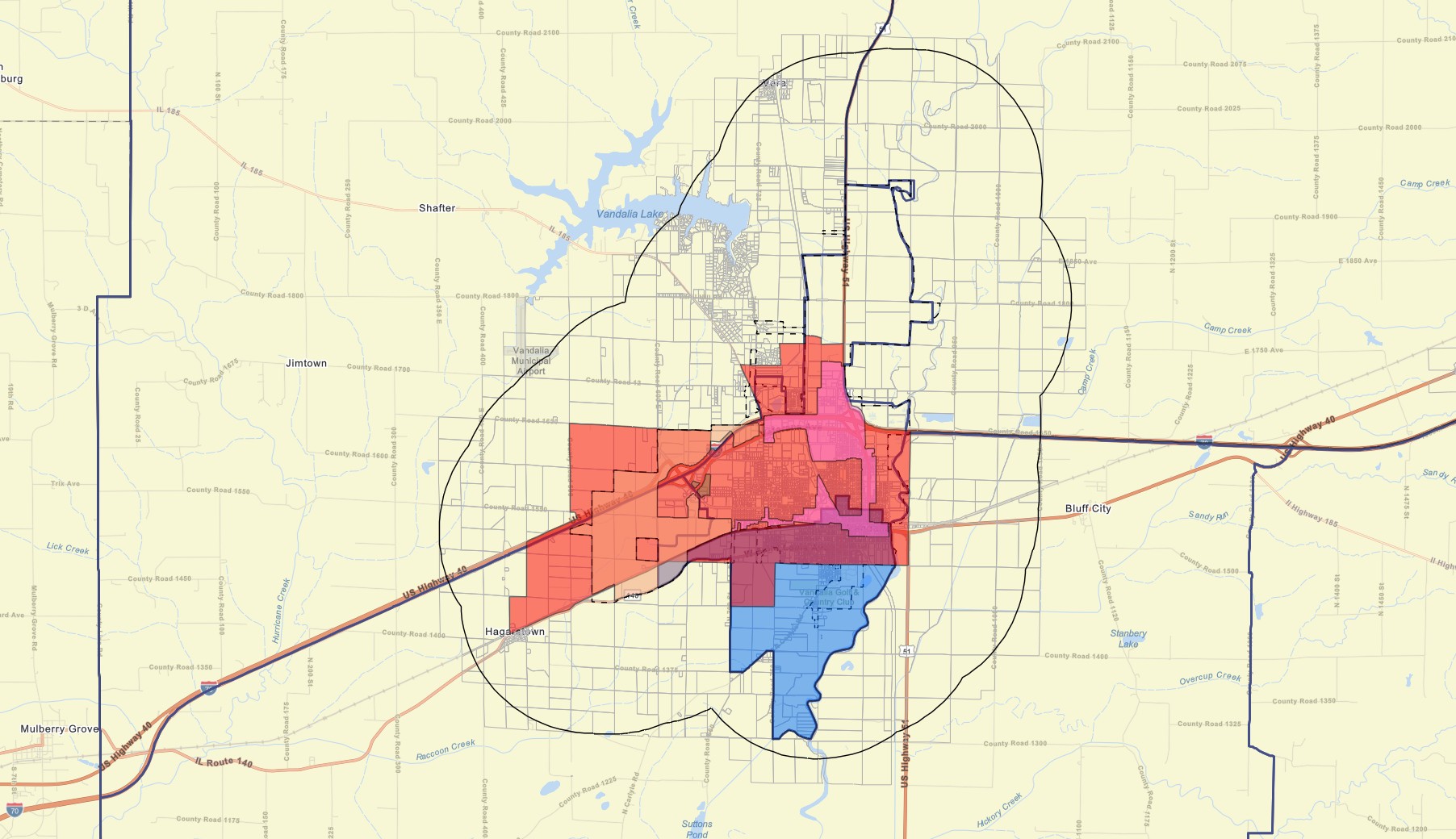
City of Vandalia – Economic Development Map
This interactive mapping application highlights key economic development and planning resources including Enterprise Zones, Tax Increment Financing Districts, Business Districts, Opportunity Zones, and property parcel information.
What Can You Explore?
Economic Development Areas
Enterprise Zones, Opportunity Zones, TIF Districts, and business districts used for local investment planning.
Parcels & Property Data
Parcel boundaries and property-level information for site evaluation and municipal planning.
Community Planning Layers
Zoning, land use, and planning overlays used by local governments.
Municipal Boundaries
City limits, service areas, and jurisdictional boundaries across the region.
Public Infrastructure
Roads, utilities, public facilities, and transportation networks supporting community development.
Local Context Data
Demographics, development patterns, and geographic context to support decision-making.
Need an Interactive Map for Your Community?
SCIRPDC develops custom GIS web applications for municipalities and counties to improve access to planning, zoning, and economic development data.
Contact Our Team