


City of Vandalia Interactive GIS Map
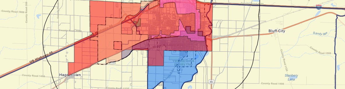
The City of Vandalia Interactive GIS Map provides access to important planning and development information, including Tax Increment Financing (TIF) districts, corporate limits, zoning areas, Opportunity Zones, Enterprise Zones, and basic parcel information. The map serves as a resource for residents, businesses, and local officials to better understand community assets, development opportunities, and land use conditions.
SCIRPDC Role
Developed and configured the interactive GIS mapping application, integrating local planning data, geographic layers, and community development information into a user-friendly online resource.
Project Impact
- Improved access to important community planning and development information through an interactive online mapping tool.
- Supported local decision-making by providing easy access to parcels, incentive area, and boundary information.
- Helped streamline planning processes by bringing multiple data sources together in one accessible platform.
Project Resources
View Interactive GIS MapRelated SCIRPDC Services
Learn more about related programs and services supporting this project.